Overview
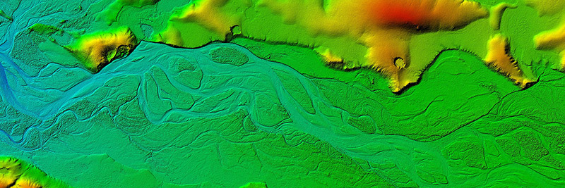
ArcticDEM is an NGA-NSF public-private initiative to automatically produce a high-resolution, high quality, digital surface model (DSM) of the Arctic using optical stereo imagery, high-performance computing, and open source photogrammetry software. The ArcticDEM project is a response to the need for high quality elevation data in remote locations, the availability of technology to process big data, and the need for accurate measurement of topographic change.
Upon completion, ArcticDEM will encompass all land area north of 60° north latitude. In addition, coverage will include all territory of Greenland, the State of Alaska in entirety, and the Kamchatka Peninsula of the Russian Federation. The project commences with Alaska and will continue to other regions in the Arctic on a continual basis. The ArcticDEM initiative is expected to create a comprehensive elevation model of the Arctic within the two-year term of the U.S. chairmanship of the Arctic Council, which began in April of 2015.
Current Release
The current ArcticDEM release contains version 1.0 of Alaska. This release excludes mosaic tiles for southeastern portions of the state where terrain data of sufficient quality to be mosaicked was unavailable at the time of initial release. Note that strip DEM files for Southeast Alaska are still available for download through the geocell FTP directory. Future releases may include improved and additional mosaic tiles for Southeast Alaska.
Explore Data
Data from the first release of ArcticDEM are available for online browsing and download. Visit ArcticDEM.org to connect to the ArcticDEM Explorer or to download bulk data.
