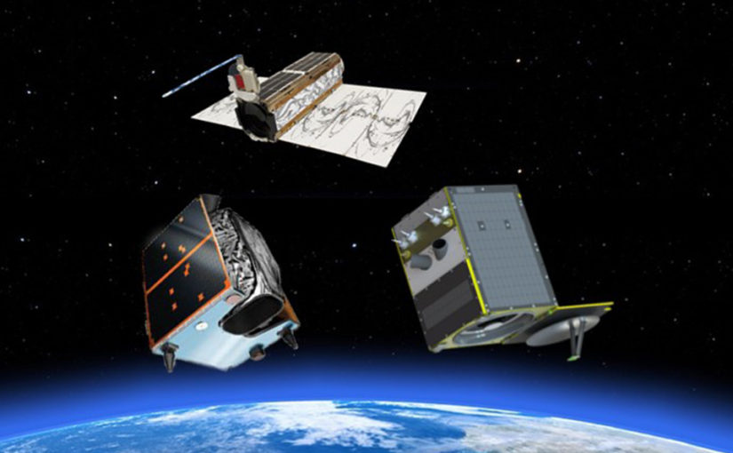
NSF Workshop on the Application of SmallSat and Commercial Imagery to Arctic Science
Workshop Details
- When – May 21-22, 2018
- Where – University of Minnesota, Twin Cities
- Host – Polar Geospatial Center
- Agenda – see preliminary agenda
About the Workshop
The advent of new, high quality small satellites, and the availability of high-resolution commercial imagery is opening a new era of Arctic science. Every remote corner of the planet now has one foot resolution optical and high quality radar imagery, allowing surface cover and properties relevant to biology, geology, geomorphology, ecology, and cryospheric studies to be seen in ways, rates, and resolutions as never before possible.
To bracket this opportunity, the National Science Foundation has funded a workshop to bring scientists, industry and other experts together to address the following questions with a multi-decadal time horizon:
- What new Arctic science would be enabled with commercial imagery and SmallSats over the next 5, 10, and 20 years?
- Where and when should collection be concentrated?
- What sensors are available, being developed, or need to be developed?
- Strategies for best employing a coordinated, public/private, multi-resolution, multi-sensor constellation for Arctic science?
- What are the foreseeable road blocks unique to commercial imagery and SmallSats that must be overcome before these resources can be fully utilized? This includes but is not limited to licensing, data quality, data volume, analysis techniques, and cyberinfrastructure.

Steering Committee
- Paul Morin – Polar Geospatial Center
- Marco Tedesco – Lamont-Doherty Earth Observatory
- Vena Chu – University of California, Santa Barbara
- Chris Polashenski – U.S. Army Corps of Engineers
- Leigh Stearns – University of Kansas
- Peter Griffith – NASA Goddard Space Flight Center
- Anna Liljedahl – University of Alaska Fairbanks
How To Apply
Applications are NOW CLOSED.
Email arcticimageryworkshop@umn.edu to check your application status.
