
Announcing Final Annual Polar DEM Strip Release 2024
Reduced PGC Funding puts ArcticDEM & REMA in Jeopardy
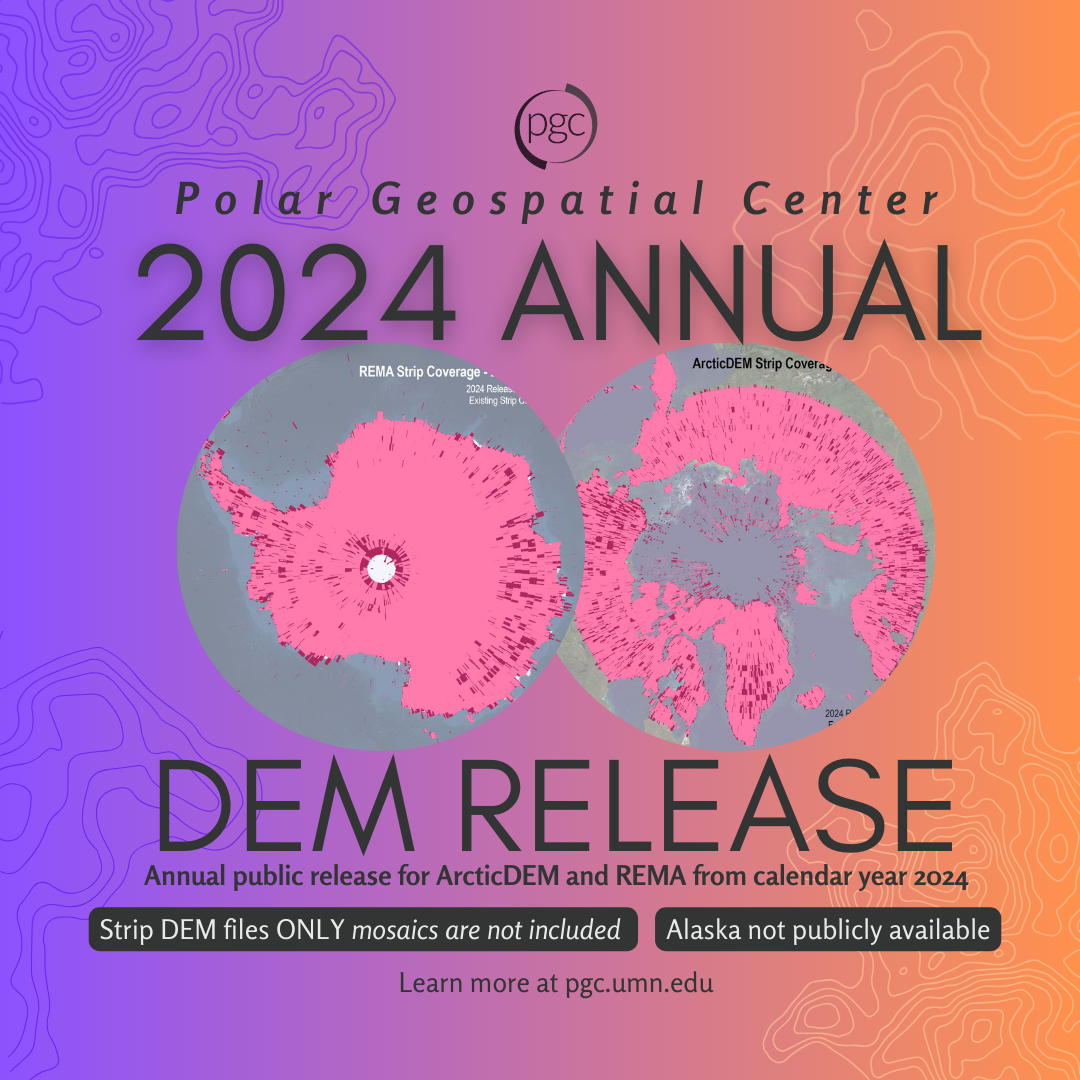
It’s here, but it’s bittersweet. The 2024 Annual Release of ArcticDEM and REMA strip data is officially live, and it may be the last of its kind…for the foreseeable future.
Due to recent funding constraints, the Polar Geospatial Center must suspend production of these vital high-resolution polar elevation models. This marks the end of a transformative era for polar science and a critical moment to reflect, respond, and rally support.
We’ve included key release stats below and details about the updated access tools now available. But most importantly: we need your voice.
Key features in the 2024 Annual Release:
OVERALL
-
- Only DEM strip datasets are subject to annual releases (mosaic products are subject to available time and funding)
- Release data totals over 124k strips across the polar regions
> Arctic new strip count: 60,794
> Antarctic new strip count: 63,227
-
- Total archive now includes over 1 MILLION strips across the polar regions
- All previous coverage included for a total of over 15 years (ArcticDEM 2007-2024; REMA 2009-2024)
- Maintained current processing version and methodology: v s2s041 and data mask included, not applied with improved scene merging (see DEM guide for details)
- Updated access points*
- ArcticDEM and REMA seeking new sponsorship (READ BELOW)
*Updated Access Points
Publicly available ArcticDEM and REMA are now available in a new dynamic STAC (SpatioTemporal Asset Catalog) API, providing a more flexible and programmatic way to discover and retrieve DEM data, as well as supporting modern workflows and integration with tools like Python, R, and QGIS. Check out PGC’s tutorial for more info.
Orthometric height corrections have been fixed to display in the ESRI web apps (aka ArcticDEM and REMA Explorers) and web services. These improvements enable quick access for users working with elevation in real-world units (i.e. above/below mean-sea level). Find ArcticDEM and REMA Explorers and ESRI web services in the PGC Web Apps.
Raster function templates are now enabled into PGC’s web services, making on-the-fly processing of ArcticDEM and REMA data seamless. Instead of storing multiple copies of the same data, templates apply calculations, color changes, etc. instantly, reduces storage needs and improves performance. Find the Web Service Links in our PGC DEM Guide for details.
We need your voice

Since its inception, the Polar Geospatial Center’s (PGC) high-resolution polar Digital Elevation Models (DEMs) – ArcticDEM and REMA, have been a transformative force in the Earth science community. Supported primarily by the National Science Foundation (NSF), these datasets have unlocked previously inaccessible insights into some of the most remote and rapidly changing landscapes on the planet. From mapping the retreat of glaciers and monitoring permafrost thaw to enabling disaster response and infrastructure planning in data-scarce regions, the PGC Polar DEMs have become an essential public asset.
However, due to recent funding constraints, the NSF can no longer support this critical program. This comes at a time when the need for high-quality, time-stamped elevation data is more urgent than ever. With a secured HPC infrastructure and proven pipelines for scalable processing, the barriers to continued production are not technical – they are financial. The impact of losing this growing time-series, both in missed scientific opportunity and in diminished decision-making capacity, far exceeds the modest investment needed to sustain it.
PGC believes ArcticDEM and REMA are not just national resources – they are global ones. PGC is calling on new partners, funders, and international collaborators to help ensure the continuity of this work. Let’s build a new model that reflects our shared responsibility to monitor the Earth’s polar regions. Join PGC to protect and advance one of the most impactful elevation datasets in history.
Please share your feedback with us.
Is your research or work impacted by the suspension of ArcticDEM and REMA?
We want to hear from you — please take our 20-minute impact survey to help PGC capture challenges, explore alternatives, and engage potential sponsors.
Check out the original PGC Elevation Updates Newsletter post here.